Lot 619
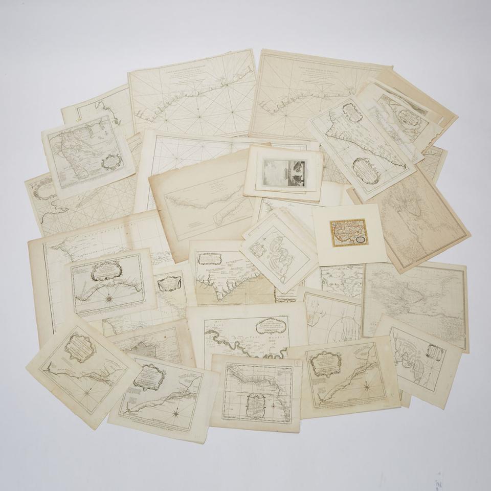
Collection of Maps, Nautical Charts and Engravings Relating to West Africa, 17th and 18th centuries
Lot 619 Details
Collection of Maps, Nautical Charts and Engravings Relating to West Africa, 17th and 18th centuries
relating largely to Mauritania and the Bay of Arguin, Senegal, the Gambia RIver, and the coasts of the Gulf of Guinea, etc.
various sizes, largest 21.5 x 33 in — 54.6 x 83.8 cm
Estimate $300-$400